Fansipan Summit Trek
At 3,143 meters (10,312 feet), Mount Fansipan stands as the highest peak in Vietnam and all of Indochina (Vietnam, Laos, and Cambodia). Known locally as “Hoa Son” or the “Flower Mountain,” this challenging trek rewards hikers with breathtaking alpine scenery, diverse ecosystems, and the profound satisfaction of conquering the “Roof of Indochina.”
Overview
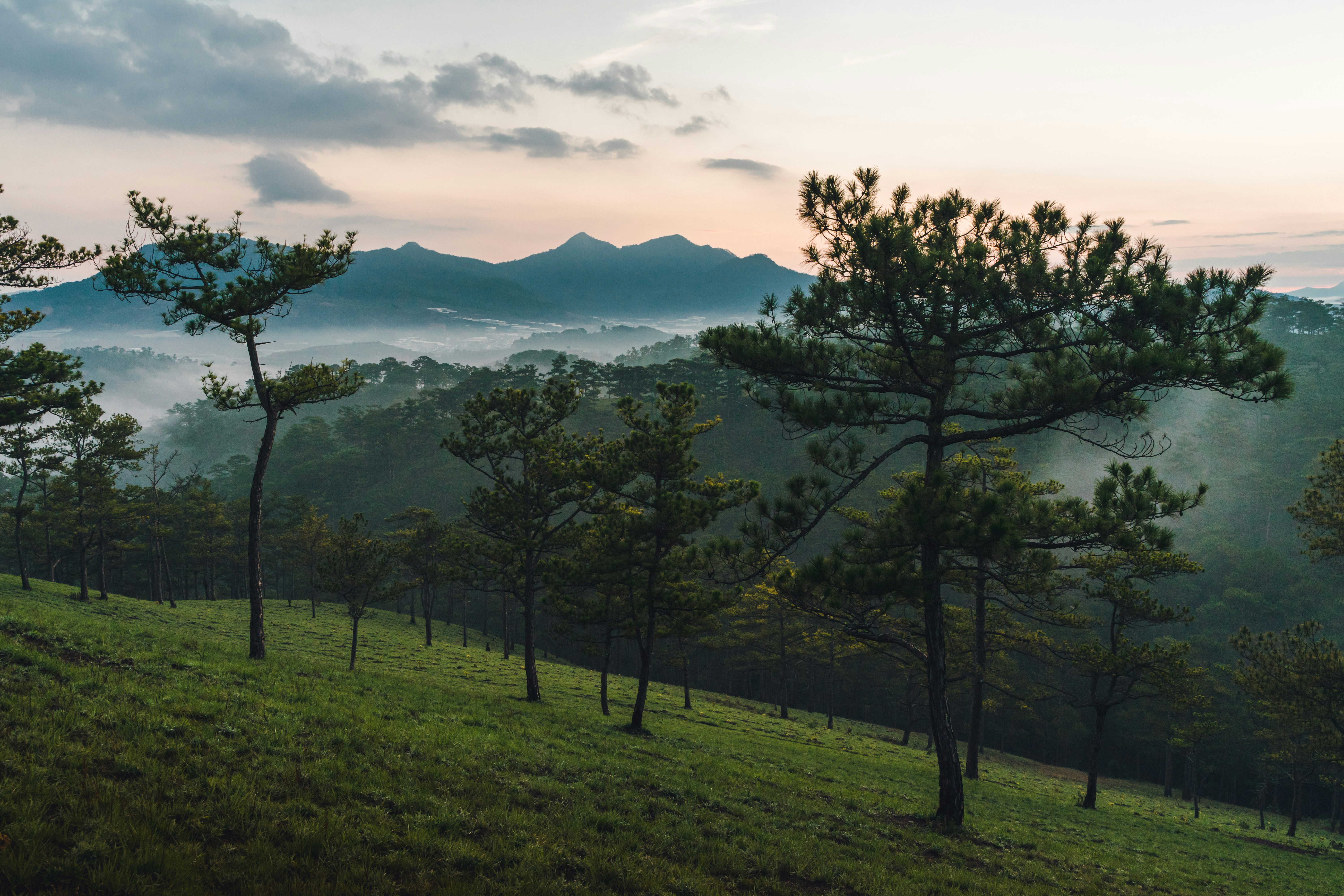
The traditional Fansipan trek is a serious mountain adventure that takes hikers through multiple climate zones and ecosystems. Beginning in the town of Sapa (1,600m), the route ascends through dense bamboo forests, alpine meadows, and rocky outcrops to the summit at 3,143m. While a cable car now provides an easier option to reach the top, the multi-day trekking route remains the authentic way to experience this iconic mountain.
Trekking Routes
Traditional 2-Day Trek (Tram Ton Route)
Highlights:
- Most popular and direct route to the summit
- Starts from Tram Ton Pass, Vietnam’s highest mountain pass (1,900m)
- Shorter but steeper than alternative routes
- Full mountain experience with one night camping
Day 1: From Sapa, transport takes you to Tram Ton Pass (approximately 15km from town). The trek begins through dense forest and gradually ascends above the tree line. The trail becomes increasingly rocky and steep, with sections requiring scrambling. After 5-7 hours of hiking (6-7km), you’ll reach the camping area at 2,800m where guides will prepare the campsite and meals.
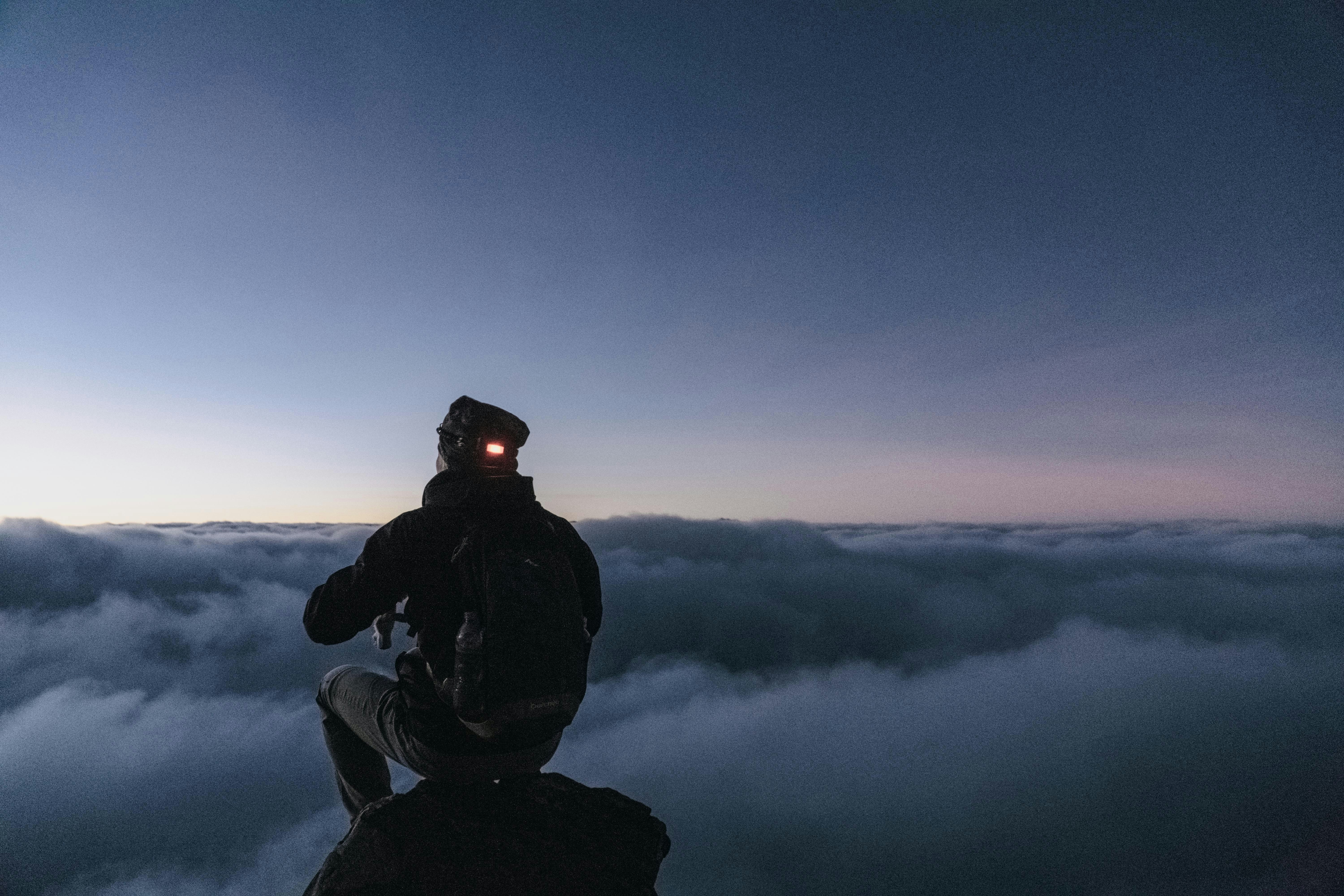
Day 2: An early morning start (around 5:00 AM) takes you to the summit in time for sunrise. This final push involves 2-3 hours of hiking over challenging terrain with some steep sections equipped with ropes or metal steps. After celebrating at the summit and taking in the panoramic views, descend via the same route back to Tram Ton Pass (6-7 hours), where transport awaits to return you to Sapa.
Alternative 3-Day Trek (Cat Cat Route)
Highlights:
- More gradual ascent with better acclimatization
- Passes through minority villages and more diverse ecosystems
- Less crowded than the Tram Ton route
- Suitable for those wanting a more comprehensive experience
Day 1: Begin from Cat Cat village (2km from Sapa), trekking through terraced rice fields and H’mong settlements. The trail gradually ascends through bamboo forests and cultivated areas before entering primary forest. After 6-7 hours (10km), reach the first camp at approximately 2,200m.
Day 2: Continue ascending through increasingly dense forest that transitions to dwarf bamboo and alpine vegetation. The trail becomes steeper with some challenging sections. After 5-6 hours (8km), reach the second camp at 2,800m.
Day 3: Early summit attempt (2-3 hours), followed by descent all the way back to Sapa (8-10 hours) or to a pickup point where transport returns you to town.
What to Expect
Terrain and Trail Conditions
The Fansipan trek involves varied terrain:
- Lower slopes: Well-defined dirt trails through forest and agricultural areas
- Middle section: Narrower paths with roots, rocks, and occasionally muddy sections
- Upper slopes: Rocky terrain with steep sections requiring hands for balance
- Summit approach: Some metal stairs and ropes installed on the steepest parts
Trail conditions vary significantly with the seasons. During the rainy months (June-September), trails become slippery and challenging, with leeches present in the forests. In the dry season, the same trails are much more manageable but can be dusty.
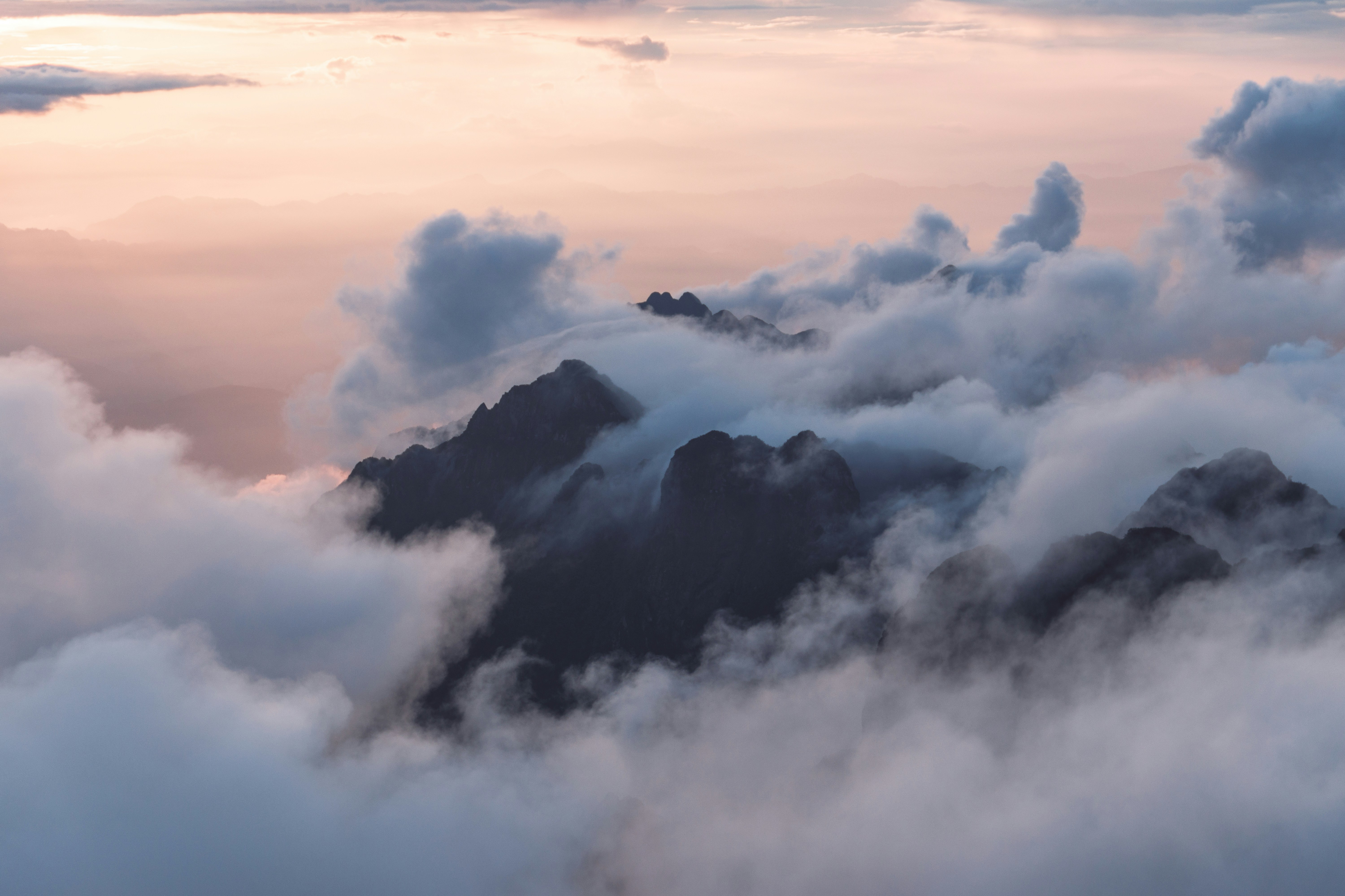
Weather and Climate
Fansipan’s weather is notoriously changeable and differs dramatically from Sapa town:
- Temperature: Drops approximately 6°C for every 1,000m of elevation gain
- Mountain weather: Can change rapidly with fog, wind, and rain developing quickly
- Winter months (December-February): Occasionally see frost or even light snow near the summit
- Summit temperatures: Can drop below freezing even when Sapa is warm
Always prepare for conditions colder and wetter than forecast for Sapa town.
Physical Demands
This trek requires:
- Good cardiovascular fitness
- Experience with long, sustained uphill hiking
- Comfort with basic camping conditions
- Ability to hike 6-8 hours daily with significant elevation gain
- Sufficient conditioning to handle a heavy pack if not using porters
Essential Information
Guided Trek Requirements
Independent trekking on Fansipan is not permitted. All hikers must:
- Arrange a licensed guide through a tour company or hotel in Sapa
- Register with local authorities before beginning the trek
- Follow designated camping areas and routes
Standard guided packages include:
- Professional guide (usually English-speaking)
- Porters to carry camping equipment and food
- All meals during the trek
- Camping equipment (tents, sleeping bags, mats)
- Return transportation between Sapa and the trailhead
Permits and Regulations
A trekking permit is required for Fansipan. This is typically arranged by your tour operator and included in the package price. The permit system helps regulate the number of trekkers and ensures safety standards.
Best Trekking Seasons
For the optimal Fansipan experience, consider:
- October-November: Post-monsoon season with clear skies, moderate temperatures, and stunning fall colors. Trails have dried out but vegetation remains lush.
- March-April: Spring season with blooming rhododendrons and other alpine flowers. Weather is gradually warming with good visibility before the summer rains.
Avoid:
- June-September: Heavy rains make trails slippery and dangerous. Leeches are abundant, and clouds often obscure the views.
- December-February: Very cold at higher elevations with occasional freezing conditions. Can be beautiful but requires additional cold-weather gear.
Packing Essentials
Even with porters carrying the camping gear, personal items to bring include:
- Hiking boots with good ankle support and traction
- Layers of moisture-wicking clothing
- Warm jacket and hat (even in summer)
- Rain gear (jacket and pants)
- Headlamp with extra batteries
- Personal medications and first aid supplies
- Water bottle (2-3 liters capacity)
- High-energy snacks
- Trekking poles highly recommended
Alternative: Cable Car Option
For those unable to trek due to time constraints or physical limitations, a 20-minute cable car ride now connects Sapa to near the summit. Many visitors combine experiences by:
- Taking the cable car up and hiking down
- Trekking up and taking the cable car down
- Using the cable car both ways but doing smaller hikes around the summit area
The summit area has been developed with stairs, viewing platforms, and Buddhist monuments.
Responsible Trekking
When conquering Fansipan, please observe these principles:
- Pack out all trash (including organic waste)
- Stay on designated trails to prevent erosion
- Respect local cultures when passing through minority villages
- Use biodegradable soap and shampoo
- Support local economies by hiring local guides and porters
The Fansipan trek represents the ultimate hiking challenge in Vietnam. While demanding, the physical effort makes the breathtaking views and sense of accomplishment at the summit all the more rewarding. Whether you choose the traditional trek or a combined cable car experience, standing on the “Roof of Indochina” will likely remain one of your most memorable Vietnam experiences.